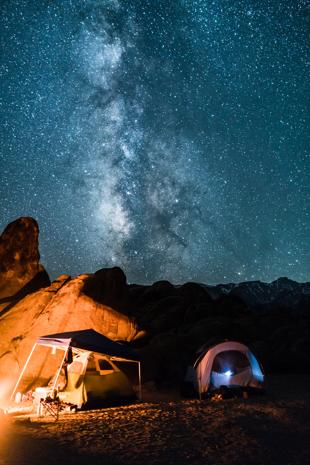
1. Larriston Fells
Start close to home. The Larriston Fells rise to the south-east of the village and offer the easiest hillside views from Newcastleton itself. From the upper slopes you can see deep into the English border country, across Kershope Forest and out towards Northumberland. On a decent day the views stretch well over 20 miles. Once you get above the treeline it is open moorland in every direction, nothing to block the horizon. The walk up from the village is a solid hour each way and never gets technically difficult. A good morning's outing that most people in Newcastleton have probably done a dozen times.
Getting there: Park in the village centre and follow the lane south-east towards Larriston farm. Paths climb the ridge from there.
2. The Whitrope Summit
The old Waverley Route railway climbed to its highest point at Whitrope, just north of the village, and today the former trackbed makes an easy walking route. The summit area sits at nearly 300 metres, giving wide views back down Liddesdale and across toward the Cheviot Hills. It is a modest elevation, but the setting adds something extra, you are standing where steam trains once laboured up the gradient in all weathers, and the sense of that history makes the panorama feel bigger than the altitude deserves.
3. Hermitage Valley Slopes
Hermitage Castle sits at the bottom of a valley, not a hilltop, but that is exactly what makes the slopes above it so special. Walk up the valley sides above the castle and you get a bird's-eye view of one of Scotland's most dramatic fortresses set against open moorland, a composition that is genuinely hard to beat anywhere in the Borders. Historic Environment Scotland ranks Hermitage among the country's most atmospheric medieval sites, and from above the valley walls you start to understand why people kept fighting over this place for centuries.
4. Larriston Hill Trig Point
Further south along the Larriston range from the Fells walk, this summit carries one of those concrete triangulation pillars that the Ordnance Survey planted on every properly useful hilltop. Trig points in the Scottish Borders almost never disappoint. From this one you get a proper 360-degree panorama, English border country, Kielder reservoir glinting in the distance, and the green canopy of Newcastleton Forest filling the valley below. On the clearest autumn days the Lake District fells appear on the southern horizon, which feels almost too good to be real.
5. Kielder Forest Ridges
Cross the border into Northumberland and Kielder Forest hides several high points inside its vast plantation that most visitors completely ignore. Most people stick to the water's edge at Kielder, the ridges above go unwalked for days at a time. Head for the high ground above Bakethin reservoir on a still morning and you will probably have the whole scene to yourself: water, forest, sky, and silence. Kielder Water is the largest man-made lake in northern England, and from the ridge the sheer scale of it lands differently than it does from the shore.
6. Peel Fell (Border Ridge)
Peel Fell sits right on the England-Scotland border and tops out at 602 metres, one of the highest points in this section of the Cheviots. The approach from the Scottish side is a serious outing (allow four to five hours return, bring proper navigation gear) but the reward is a real summit with views stretching from the Solway Firth all the way to the Cheviot itself. On the clearest days you can make out the Isle of Man. Researchers at the University of Edinburgh School of GeoSciences have documented the Cheviot massif as offering some of the most unbroken moorland terrain in northern Britain. From the top of Peel Fell, you feel it.
7. Whita Hill Above Langholm
A 20-minute drive south-west brings you to Langholm, and above it Whita Hill (434 metres) is reached by a straightforward marked path. At the summit stands a tall monument to General Sir John Malcolm, a local lad who made good in the British East India Company. The view from up there takes in the Esk valley, the Solway Firth, and on clear days the Lake District fells lined up on the southern horizon. Langholm sits neatly below in the valley, and the whole composition is one of those quiet rewards that make the Scottish Borders so easy to love. VisitScotland includes Whita Hill in its Dumfries and Galloway walking recommendations, though most people who go there have found out about it by word of mouth.
8. Tinnis Hill
Tinnis Hill is one of those places that almost nobody goes, despite being an easy climb from the road. It lies north-east of Newcastleton above the Slitrig Water, and from the summit you get clear views across the full width of Liddesdale plus a good look at the Newcastleton Forest canopy stretching south toward the border. There is no path, no signpost, no other walker, just open moorland and a fence line to follow. If you want the basics on navigating off-path terrain, our hiking guide covers what you need to know before you head out on anything unmarked.
9. Ruberslaw
Drive 40 minutes north toward Jedburgh and you hit Ruberslaw (424 metres), an isolated volcanic hill that stands out from the surrounding farmland like something planted there on purpose. It is one of the most distinctive profiles in the whole Borders, and from the summit the view is extraordinary, the middle section of the Scottish Borders opens up completely, with the Eildon Hills, the Hawick skyline, and the Tweed valley all visible at once. Ruberslaw also carries Iron Age hillfort remains on its summit, which adds a layer of historical atmosphere that you do not get from purely geological hills. The walk up is straightforward and the reward-to-effort ratio is hard to argue with.
10. Greatmoor Hill
A big, empty, almost entirely unknown hill north of Newcastleton, Greatmoor sits between Liddesdale and the Teviot watershed. Its broad summit gives one of the widest possible views of the central Borders, rolling moorland in every direction, with the hint of larger hills on the distant horizon. This is proper walking country: no paths, boggy ground after rain, and the genuine quiet of somewhere very few people have bothered to reach. Bring a 1:25,000 Ordnance Survey paper map. The digital app works fine as backup, but paper does not run out of battery when you are three hours into the hill and the signal drops.
11. Carter Bar (A68 Pass)
Technically a road pass rather than a hill walk, but Carter Bar (418 metres) earns its place on this list because the view from the layby is one of the most immediately impressive in either northern England or southern Scotland. You drive up through heather moorland, turn a corner, and suddenly the entire Scottish Borders lays itself out in front of you, a panorama stretching from the Eildons to the Lammermuirs with the Tweed valley catching the light in the distance. It takes 40 minutes from Newcastleton, costs nothing, and works just as well in winter when the hills are dusted with snow. Half the pleasure is watching people stop and pull out their phones in disbelief when they reach the top.
12. The Curr Viewpoint, Newcastleton Forest
The closest proper viewpoint to the village, The Curr is built into the hillside above the 7Stanes mountain bike trails. You can walk or ride up to it and look south across the border country toward Kershope Forest and the Bewcastle Fells beyond. It is a short trip from the village, works fine for families, and delivers a genuine payoff for modest effort. On a still winter morning with frost on the trees and low mist sitting in the valley, it is the kind of view that reminds you exactly why some people choose to live out here rather than anywhere else.
Practical Notes Before You Head Out
Most of these viewpoints involve open moorland with no marked paths. Take a map, wear waterproof layers, and tell someone where you are going before heading out on the bigger hills. Scotland's Land Reform (Scotland) Act 2003 gives you the right to access almost all land responsibly, so you are almost never trespassing out here, just navigating. Weather in Liddesdale can turn fast. Start early, keep an eye on the sky, and do not push on if conditions close in.
Planning Your Visit Around These Viewpoints
Most of these spots can be combined over a multi-day base in Newcastleton. The shorter options, Larriston Fells, The Curr, Hermitage valley slopes, work well as half-day trips and leave plenty of time for other things. The bigger hills (Peel Fell, Ruberslaw, Greatmoor) deserve a full day each. For places to stay while you work through the list, our accommodation guide covers what is available in and around the village.
If you want to weave a couple of these summits into a broader trip, our weekend guide to Newcastleton puts together a full itinerary that balances hill walks with the village's other draws, pubs, heritage sites, and the kind of unhurried pace that is the whole point of coming to this corner of the Borders.